SIGLA extends its response to communities affected by the earthquake in Colombia
SIGLA continues its response after the August 10 earthquake with nutritional support actions for children at risk and access to safe water in affected communities.

SIGLA continues its response after the August 10 earthquake with nutritional support actions for children at risk and access to safe water in affected communities.

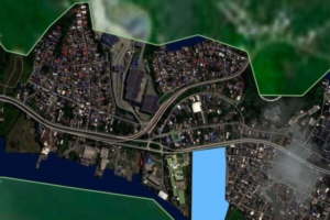
SIGLA is making its geospatial capabilities available to support the earthquake response in Colombia, providing technology, territorial information, and expertise for damage assessment and decision-making.

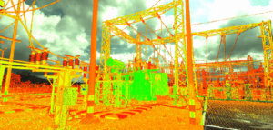
Digital twins for the power grid turn fragmented information into a single, traceable and reliable technical backbone for decision-making. By consolidating geospatial data, inspections and asset information, they reduce uncertainty in electricity transmission and distribution infrastructure and support both day-to-day operation and long-term planning.

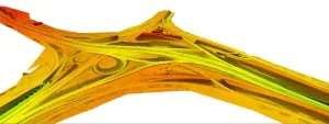
LiDAR technology makes it possible to transform territory into reliable information for strategic decision-making in sectors such as energy, infrastructure, and land management. At SIGLA, we combine multisensor capture, rigorous quality control, and advanced analysis to turn every data point into a tool for risk reduction and operational optimization.

SIGLA has renewed the Sello Verde de Verdad® sustainability certification for the second year in a row — a recognition that reinforces our commitment to environmental responsibility, climate mitigation, and the ethical use of geospatial technology across all the projects in which we participate.

In the competitive arena of large-scale projects, having solid and internationally recognized management systems is not an option—it is a necessity. Since its inception, SIGLA has fostered a strong culture of quality, and as early as 2016, had already certified its Quality Management System in accordance with ISO 9001 standards.

Digital twins are revolutionizing the management of strategic assets by providing real-time virtual models of infrastructures, power grids, and production plants, among other applications. Thanks to this technology, companies can anticipate failures, optimize operations, and make data-driven decisions. From urban planning to wildfire or flood prevention, digital twins enhance efficiency and reduce costs across multiple sectors. Discover how this tool can transform your industry and ensure a more efficient and sustainable future.


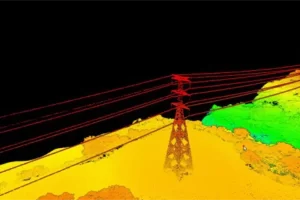
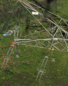
SIGLA has been working for several years in Power Line Inspection projects within Framework Agreements with largest utility companies in Latin America, in High, Mid and Low voltage grids, implying different scenarios of data acquisition. Power line inspection is a critical process to ensure the safe and reliable operation of

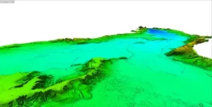
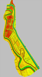
Our Customer SACYR (Ecosistemas del Dique) SIGLA role SIGLA has acquired all the data on the land and underwater (LiDAR, ortho-photo & Bathymetry) and processed it to provide a comprehensive 3D data model for the studies and designs that are required for the purpose of the project. It has been

Metro 1 S.A.S company owning the concession needed to generate a digital twin like model of the full corridor with all the physical elements in a very short period of time. This is the base information that has been used to carry out the construction of the Metro of Bogota
We completed the project of “Aerial topographic survey with LiDAR system of part of the northern perimeter for the northern connection of Bogotá to the Sopó – La Calera road”, for the company EUROESTUDIOS, an important alternative for the Colombian Capital and the City of la Calera (February 2014).
SIGLA S.A.S. culminates the project “Reprocessing of LiDAR data and topographic elevation models for adaptation to the new geodetic reference frame of the San Francisco Mocoa variant project”, for the company CONSORCIO VIAL DEL SUR, a project that will bring great benefits to the Department of Putumayo and it is
SIGLA S.A.S. company that was established in August 2013 with an experienced team of professionals, has worked on several surveys with LiDAR technology for studies and design projects for roads, gas and oil pipelines, miners, power lines and studies of flood zones, takes on new challenges, an example of this