











































SIGLA extends its response to communities affected by the earthquake in Colombia
SIGLA continues its response after the August 10 earthquake with nutritional support actions for children at risk and access to safe water in affected communities.
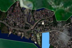
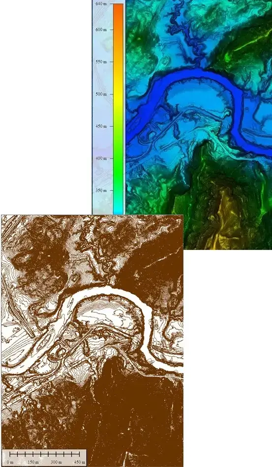
Our highly specialized team covers a full range of capabilities related to Geospatial Data providing end-to-end services from massive data capture, processing, generation of Digital Twins and analysis based on Geo-intelligence.
Occupy a key role in the generation of enriched geospatial intelligent digital twins to facilitate and lead the transformation of assets. Provide reliable and agile Geospatial Intelligence Solutions based on Technology and Know-How for your current and future Assets.
Provide reliable and agile Geospatial Intelligence Solutions based on Technology and Know-How for your current and future Assets
Provide advanced geospatial tools and solutions to deliver key information for new project designs and to maintain, upgrade and repurpose strategic assets on a global scale.


Know-how and resources to respond with the best solution, following the highest quality standards and maximum control of the variables during execution. We are committed to delivering what we promise.
From the initial analysis of your assets to the delivery of detailed reports,
we are committed to quality and timeliness at every step of the process.
A tailored service plan for each industrial sector
Maximize the value of our customers' assets with the adequate application of Lifecycle Management being cost-effective and maximizing the amount of information collected, processed and analyzed.
Using AI-powered technology to process the data and deliver it to our customer with customized PaaS (Pataform-as-a-Service) thatr delivers high quality digital twins models that ensure a quick visualization of anomalies in the networks and areas of consequences.
We ensure seamless and proactive maintenance avoiding incidents thus reducing downtimes and increasing the degree of reliability of the assets.
We are ready to help you to optimize your assets.
We are totally oriented to our customers’ success in their projects, aligned with their goals. We stay connected working side with our clients before, during and after project execution.
We strive to offer precise and reliable data for your projects. Previous to any project we carry out a deep analysis to recommend the most effective way to deliver the data.
With more than 530 projects executed and nearly 100 customers we have built a solid reputation in our markets.
We use last generation data acquisition equipment LiDAR, Cameras, bathymetric, mounted in different aerial, satellite platforms, land and our great team.
Budgets without subsequent surprises, and delivery times with strict compliance.

SIGLA continues its response after the August 10 earthquake with nutritional support actions for children at risk and access to safe water in affected communities.

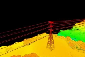
SIGLA is making its geospatial capabilities available to support the earthquake response in Colombia, providing technology, territorial information, and expertise for damage assessment and decision-making.

Digital twins for the power grid turn fragmented information into a single, traceable and reliable technical backbone for decision-making. By consolidating geospatial data, inspections and asset information, they reduce uncertainty in electricity transmission and distribution infrastructure and support both day-to-day operation and long-term planning.