
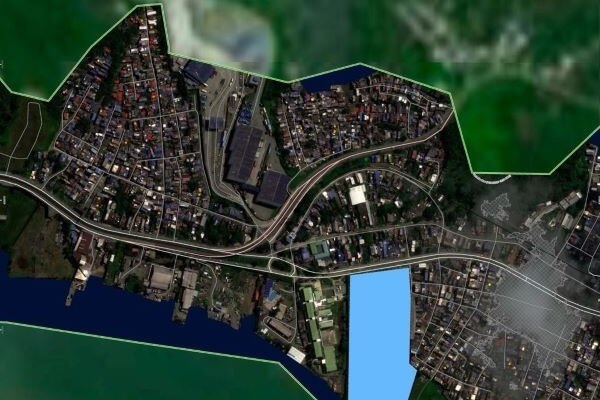
Following the earthquake that struck Colombia on August 10, 2026, SIGLA has made its technical, technological, and human capabilities available to the institutions responsible for emergency response, contributing to damage assessment, territorial analysis, and the planning of response and recovery actions.
Accurate and timely knowledge of the territory is especially important in emergency situations. Geospatial information can help identify affected areas, assess damage to infrastructure, analyze associated risks, and provide technical information to support the prioritization and coordination of interventions.
Geospatial Capabilities for Emergency Response
SIGLA combines technology, experience, and a team of more than 135 professionals operating across Colombia. Depending on the needs of the responsible authorities, the company can provide:
- Emergency LiDAR surveys and orthophotography for rapid assessment of damage to housing and infrastructure.
- Optical and radar satellite imagery for monitoring and analyzing affected areas.
- Mapping to support territorial planning, emergency operations, and the distribution of humanitarian aid.
- Landslide risk and slope instability analysis, particularly in the context of aftershocks and adverse weather conditions.
- Bathymetric surveying and assessment of port and river infrastructure.
- Processing, analysis, and integration of geospatial information to support decision-making.
These capabilities have been made available to the National Unit for Disaster Risk Management (UNGRD), the Regional Autonomous Corporation of Valle del Cauca (CVC), departmental and municipal governments, regional environmental authorities, and other public institutions involved in emergency response and subsequent recovery efforts.
Technology and Knowledge in Service of the Territory
Since 2012, SIGLA has worked on projects focused on the knowledge, analysis, and management of Colombia’s territory. In an emergency of this scale, that expertise takes on an additional role: helping institutions access reliable territorial information so they can act with greater speed and precision.
Our commitment is to contribute through what we do best: generating, processing, and transforming geospatial information into actionable knowledge for decision-making.
In parallel, SIGLA is working with SANUTEAM on a food assistance initiative for children and communities affected by the earthquake. This effort complements the company’s technical and geospatial contribution with direct support for one of the priority needs arising from the emergency.
Institutional Support Requests
Organizations requiring technical capabilities or geospatial information for emergency response can contact our team at:
Please use the subject line: EARTHQUAKE SUPPORT
Requests related to the emergency will be handled as a priority.